MindScapes
Map Projections and Decisions
"The Uncharted Lands call to the wanderer, the man with out a kin, to explore the caverns deep, seeking wealth within..." --Grilor the Bard, reciting a poem.
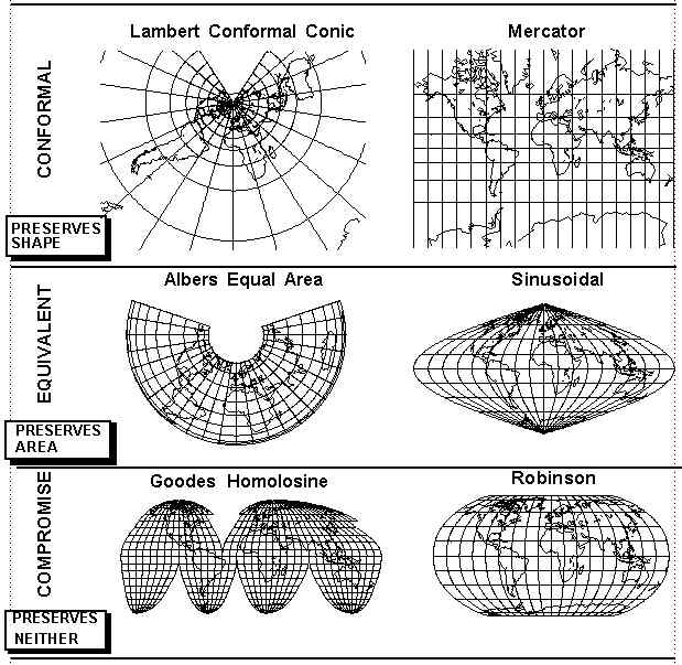
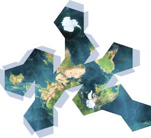
The act of taking the actual Earth, which id a complicated sphere, and attempting to represent it on a two-dimensional FLAT space, is quite an undertaking. It requires many decisions, including how to project the spherical image onto the flat surface, how to orient the map, and what information is to be depicted. As part of the process, the cartographer must understand the user and the intended user. This activity is designed to introduce you to this mode of thinking and problem solving.
You will note there are several maps around the room. In the following activity, you will circulate with a partner to all the maps and respond to the following for each:
- What is the title of the map?
- When was the map created?
- What type of projection was used?
- What is this map intended to be used for?
- What specific cartographic decisions about projection, scale, included/unincluded information, emphasis, and general design did the cartographer make as a result of its intended use?
When you have completed all the stations respond to the following.
- Which map was your favorite or most memorable? In detail, describe why.
- Reflect on this activity in a paragraph or two. What has this activity changed or enhanced your knowledge of cartography and your view of the world.